Where are you allowed to fly with a drone?
Everything on fly zones in the Netherlands
The Dutch air space is divided into different zones. With a drone, you can only fly in the open areas of the air space. Check if you have permission to fly at your location before you take off. Check the government map: https://map.godrone.nl/
In this article, we'll explain how the Dutch air space is divided and where you can fly with your drone.
- Red zones: not allowed to fly
- Yellow zones: allows to fly with restrictions
- Green zones: Natura 2000 area
- Blue zones: temporarily not allowed to fly
- Unmarked zones: allows to fly
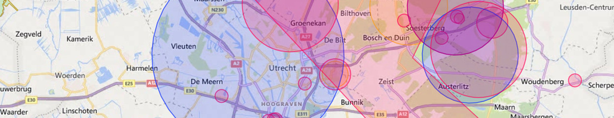
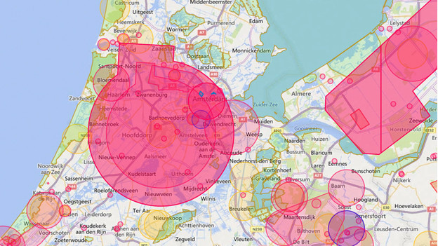
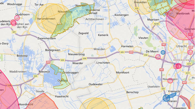
Red zones: not allowed to fly
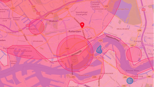
The red zones on the map indicate a no-fly zone. In this area, you're not allowed to fly with your drone. You can mainly find these areas near airports, harbors, or industrial areas. If you do fly there, there's a big chance you interrupt other air traffic, or that you cause safety problems. This can lead to dangerous situations.
Yellow zones: allowed to fly with restrictions
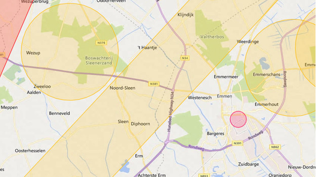
The zones with increased risk are colored in yellow on the map. These areas are usually indicated as a low-level flying zones. Like the name suggests, you'll easily encounter low-flying air traffic. It's allowed to take off with your drone, but only if there's someone with you to keep an eye on the air traffic.
Green zones: Natura 2000 area
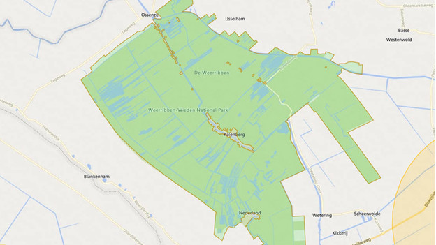
The green fly zones indicate protected nature areas in the Netherlands. These are Natura 2000 areas. You can only fly here with your drone and make recordings with a permit issued by the province. For most drone enthusiasts, this is like a no-fly zone.
Blue zones: temporarily not allowed to fly

The blue zones on the GoDrone map are temporary no-fly zones. These zones indicate a flight report. A flight report is an announcement of a future flight or other air traffic. This can be a film producer who's making aerial shots. They claim a piece of the air space for a short time. After some time, the blue zone disappears from the map, and you're allowed to fly again.
Unmarked zones: allowed to fly
Send your drone to the sky without interruptions if you're in an unmarked zone. In this unclaimed part of the air space, you're allowed to fly with drones. You can make as many drone shots as you want here. Keep the general drone rules in mind when you fly. Don't fly over crowds and buildings. Don't bother others and keep a safe distance from other people and public roads. Have fun with your drone.